BUILDING INFORMATION MODELING (BIM)
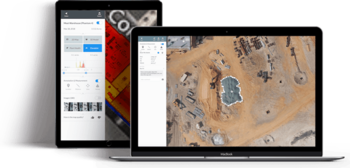
We perform pre-construction surveys, topographical measurements and project progress reports with precision and efficiency. The Yuneec H520 is designed to fly repeatable and perfectly-positioned flights over construction sites, providing measurable and demonstrable project data, and helping to identify shrink points, at-risk areas, or security breach points. The ability to integrate with popular project management, BIM, and auto-CAD systems, H520 is a fast deploying, safe tool for project managers and site supervisors to monitor and measure progress. The H520 is ideal for early damage-protection evaluation, quality management exercises, and other asset evaluation operations.
Application areas:
Construction work
Construction planning


